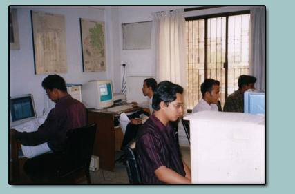
More than one decade, nrp has vast experience in planning, configuration and use of GIS, Satellite Image Processing Systems, software development, photogrammetry (conventional and digital techniques), conventional and digital mapping techniques.
Design and installation of GIS/Remote Sensing computer systems (e.g. Arc/Info, ERDAS Imagine, SPANS) on different operating systems.
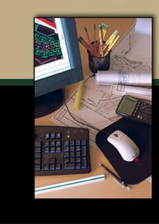
GIS Services:
GIS Mapping
GPS Survey and Mapping
Cartography
Digitizing Services
Data Entry and Processing
Data Conversion and Database Management
Application and Training of GIS
and Remote Sensing Technique